


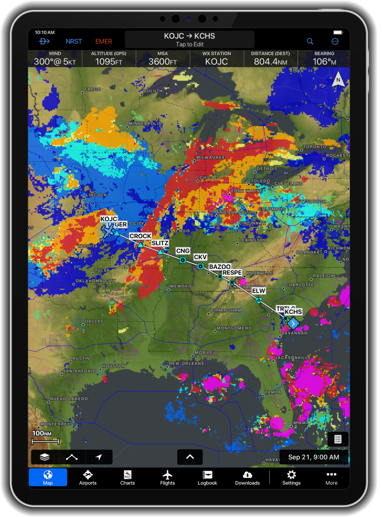
Garmin today is announcing new Garmin Pilot features designed to give pilots greater weather awareness and more comprehensive preflight-planning tools across mobile and web.
Highlights include:
- Expanded composite radar coverage: New composite radar coverage for Mexico and an additional composite radar source for Canada provide a broader view of precipitation and storm intensity across North America.
- New Forecast Cloud layer: Pilots can view forecasted cloud tops, bases, and coverage on the map to better anticipate conditions during preflight planning.
- SmartCharts Airport Diagrams on the web: Beginning Oct. 27, Garmin Pilot Web users can access SmartCharts airport diagrams on Garmin Pilot Web for the first time, and they include graphical NOTAMs. Color-coded overlays depict runway, taxiway and ramp closures directly on airport diagrams, helping pilots quickly identify potential surface restrictions.
The weather and radar enhancements are available now on Garmin Pilot for Apple mobile devices and the web. SmartCharts Airport Diagrams for the web will become available Oct. 27 in supported regions
For more information, go HERE
